

Healthy Ride Report 19th March 2016
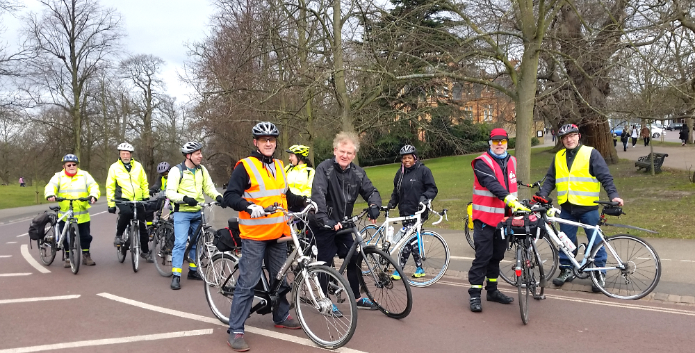
Top of The Avenue, Greenwich Park
A grey, cold but dry morning saw 12 riders set off from Canada Water a bit after 9.30. Ride Leader Werner had devised a new inland route for the outward leg. This passed via Greenland Dock, Surrey Canal Road, the Deptford cycle paths and through Greenwich Park. Everyone puffed up the long hill (The Avenue) then across to Vanburgh Hill where we went back down to sea level. Then a complicated back street route to the high pedestrian/cycle bridge over the wide Blackwall Tunnel Approach. From there on the nice North Greenwich cycle paths to the Thames Path beside the Greenwich Yacht Club. Access here has changed with the new building but is if anything improved. Finally a short ride along the Thames Path (Nat Cycle Route 1) to the Barrier, where everyone dived into the café to warm up.
After a longish break we remounted and headed back along the Thames Path all the way to
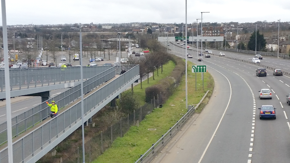
Riders on bridge over Blackwall Tunnel Approach
Greenland Dock, then inland to Canada Water. Back exactly on 1pm – terrific timekeeping. And the temperature had warmed up nicely. Hi res photos (from Philippa) at https://www.flickr.com/photos/87825147@N04/shares/4J5EK4 (at least I hope they are; if this link does not work email b.lynn@ucl.ac.uk and let me know). Total ride was 25km and map from Werner’s mapping app is at: http://taffimai.w2.org.uk/healthy-rides/CW-ThamesBarrier-20160319.html
Submit a Comment