
Ride 1. Four Commons amd Two Windmills
Ride 2. The Longest Day
Four Commons amd Two Windmills

Crystal Palace Park
Reort from Ride Leader Bruce.
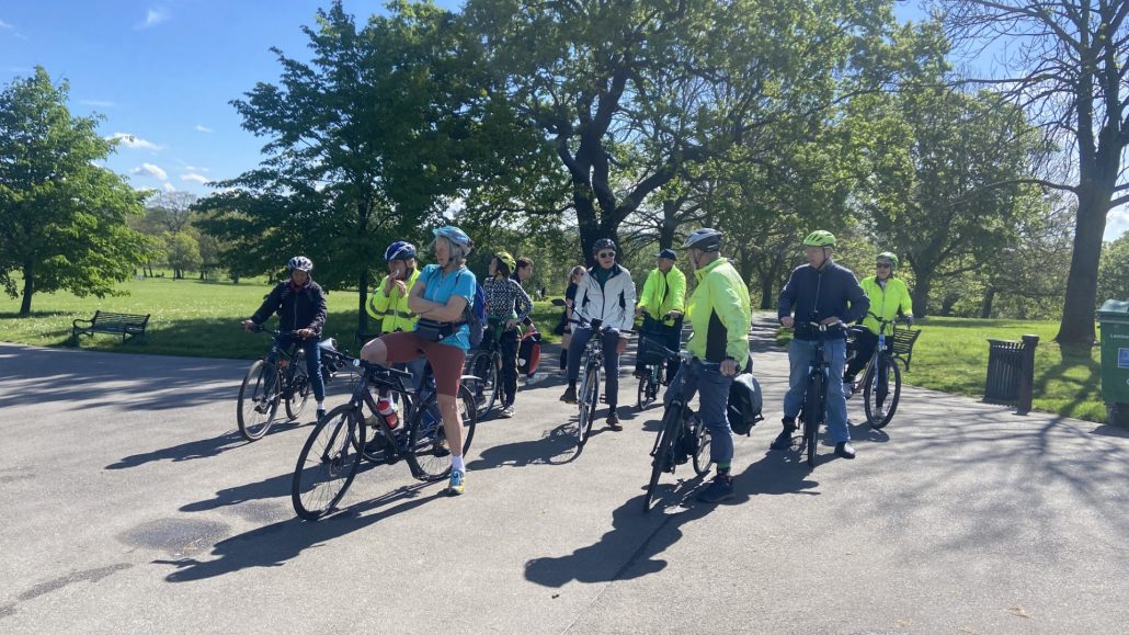
On a beautiful spring day 11 riders set off from Dulwich Park on a ride across 4 Commons and 3 big parks and past 2 windmills, 2 prisons and close to 2 lidos. Was going to be quite a challenge, but we made it. According to Mike’s tracker: 3h 17min, 26 km, 208 m of ascent and max elevattion of 117 m.
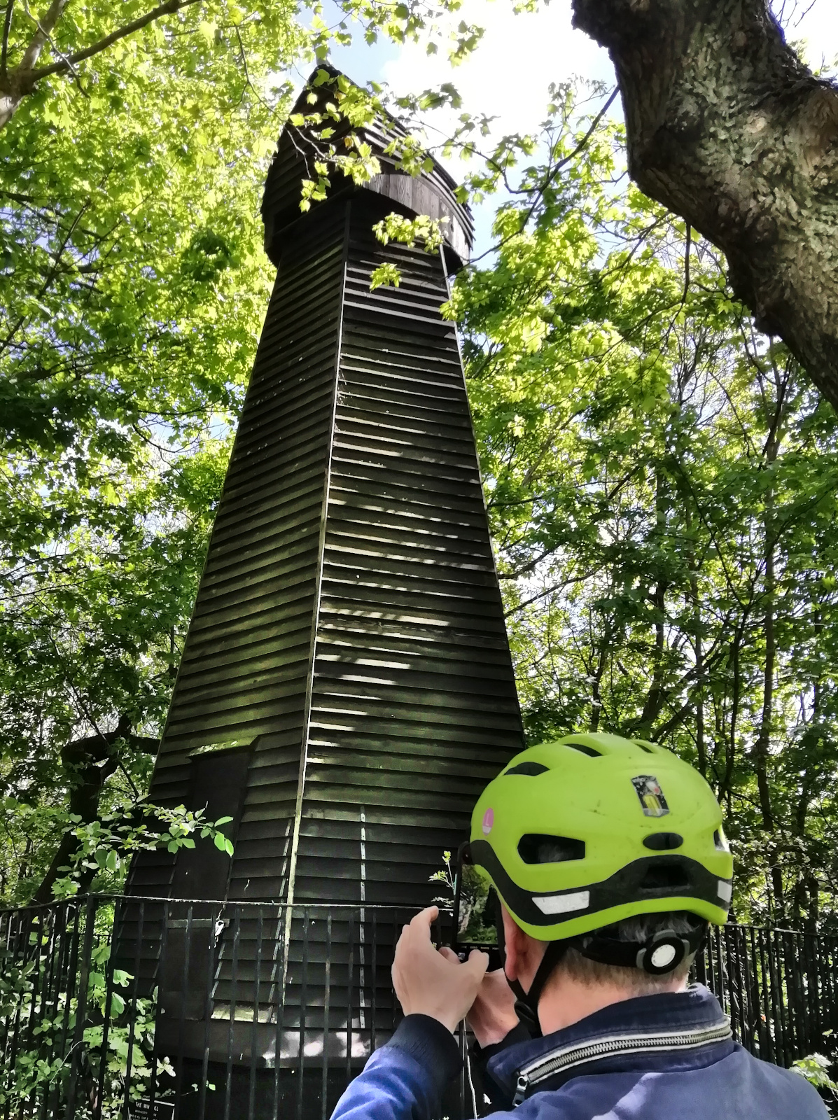
From Dulwich to Brockwell Park then exit via Tulse Hill Estate to first stop at Brixton Mill. Quite busy with a tour group visiting the mill, people at the eduucaton building which also appears to have a small cafe and children in the playground. Next brief stop was Clapham Common on Windmill Drive – no windmill any more, but a big pub of that name just off the route. On to Wandsworth Common. Very busy with people out in the sunshine. Walked the narrow path past the Skylark Cafe, then joined John Archer Way and stopped at the Roya Victoria Patriotic Building. Large gothic style structure with a varied history. It was built in 1857 as the school of the Royal Victoria Patriotic Asylum on land enclosed from Wandsworth Common. Over the years has had many uses including housing widows and orphans from the Crimean War, acting as a hospital for injured First World War soldiers and during the 2nd World War serving as a Reception Centre, where 34,000 civilians arriving from occupied Europe were questioned in order to identify potential spies (see Wikipedia for more).
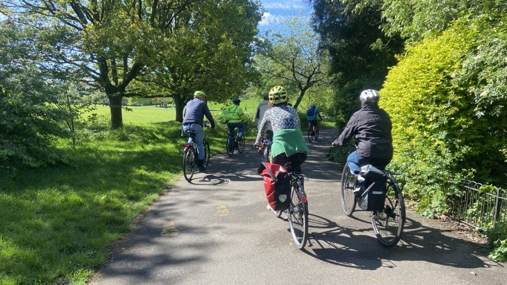


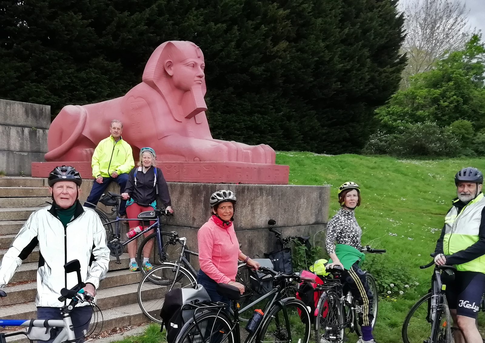
On to the next Common, Tooting Commons in Tooting Bec. Here we had a half-way stop and deserved refreshments at the Tooting Bec Common Cafe. Crossed the Common passing the entrance to the Lido then more quiet streets and across busy Streatham High Rd. We were running well ahead of schedule so no question of needng to take a shorter route home. On to common number 4, Streatham Common where there was a brief stop at the Rookery Cafe next to the famous Rookery gardens. These are maintained by a community run social enterprise the Streatham Common Co-operative (SCooP). With no time on this ride to explore the Rookery we pressed on to Norwood Park and the final climb up to Crystal Palace Parade. Still in good time so crossed into Crystal Palace Park and cycled along the gravel Upper Terrace. Photo stop at the sphinxes where there was another cycling group. Then up the bank and through to Old Cole Lane, passing the entrance to Crystal Palace Caravan and Motorhome Club Campsite. This must be the closest campsite to Central London yet few people know of its existance. Final stretch of lovely downhill (Fountain Drive, College Rd) past the Toll Gate and into Duwlich Park opposite the Picture Gallery.
Really enjoyable ride in great May weather. The group managed the many uphill sections in excellent time.and in consequence we finished haf an hour early! Many thanks to Jamie for back marking. Route at https://www.google.com/maps/@51.4383172,-0.1990637,12z/data=!3m1!4b1!4m2!6m1!1s109qmWolJsAZyzTbZ3i5ktisrvBKhmQc?entry=ttu
The Longest Street

10 riders for this ride on the nicest weather for a while. Here is the Ride Report from Ride Leader Simon S.:
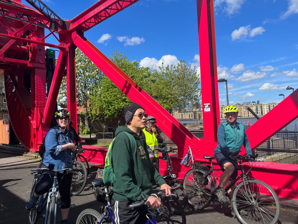
It is a very nice route that takes people along C35 to Burgess Park, then through Walworth – Royal Surrey Zoological Gardens in Pasley Park, Pullens Buildings, a Victorian Bollard. Over Walworth Road and into the newly upgraded Browning Street and joining C17. Then C10 at Gt Dover St and onto Bermondsey St to join C4 at Tooley St. Turn off after Bermondsey Stn to get onto Rotherhithe St (next time could join the Thames Path at Dockhead). Lots to see on Rotherhithe St – Mayflower Pub, Brunel Museum, Bascule Bridge, ferry to Canary Wharf, Surrey Docks Farm. Through Russia Dock Woodland to Greenland Dock, which was resplendent. Onto C4 at Plough Way and navigate Surrey Quays junction in two goes. Coffee stop in the sun in Southwark Park, and back along CFR12 past Millwall FC and through Bridgehouse Meadows and Brimmington Park. Back at 12.30. 20km in total – short and flat.

Route map at https://www.google.com/maps/d/edit?mid=1-a0LRYP3NIjFcSfi_oVWoj14XsAdKwM&usp=sharing
Back to Ride Report 2024 Index
Back to Healthy Rides Home page